July 15, 2026 · The Geography Traveler
Why Geographic Literacy Makes Kids Better Travelers (And Better Students)
Most family trip prep is logistics: what to pack, where to stay, how many hours in the car. Almost none of it is about teaching a kid to actually read the place you're driving toward. That's a mistake — the difference between a family that has done a little landscape homework and one that hasn't shows up the moment you get out of the car. This is the first post in The Geography Traveler, a series about preparing for national park trips the way you'd prepare for anything else worth doing well.
What Geographic Literacy Actually Means
Knowing all 50 state shapes is recall. Geographic literacy is something else: the ability to look at a piece of land and understand why it looks the way it does. Why does the valley floor sit flat and wide between two mountain ranges? Why do the trees stop partway up the slope? Why does the river bend here instead of running straight? None of that requires a textbook — it requires the habit of asking the question and a few basic patterns to answer it with.
That habit is exactly what a national park rewards. Parks aren't random scenic backdrops — they were set aside specifically because the geology, the water, or the ecosystem does something unusual and legible. A kid who's primed to notice terrain gets a fundamentally different two hours at a scenic overlook than a kid who isn't.
Why It Changes What Your Kids Actually See
This is the part that's easy to underrate: geographic literacy doesn't just add information on top of the trip, it changes what gets noticed in the first place. A canyon is more interesting once you know it's a river slowly cutting down through rock over an immense span of time, not just a big hole. A valley full of grazing wildlife is more interesting once you understand it's a valley because that flat, open ground is exactly what large herds need — the geography and the wildlife aren't separate facts, they're the same fact.
Elevation is the single most useful concept for this. Almost every mountain park has visibly different zones as you climb — forest, then thinner forest, then no trees at all — and once a kid has the concept of "it gets colder and windier the higher you go, and plants either adapt or drop out," that idea keeps paying off at every overlook and every trailhead for the rest of the trip. We'll go deeper on reading elevation zones later in this series.
The Real Data Behind It
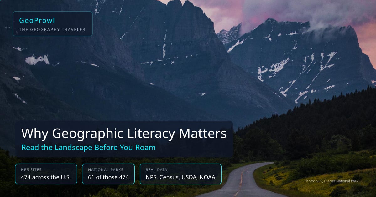
The National Park Service manages 474 sites across the country as of this writing — national parks, but also monuments, historic sites, seashores, battlefields, and recreation areas. Only 61 of those 474 carry the full "National Park" designation. That distinction matters for trip planning (a national monument and a national park can look and feel very different) and it's a good first geography lesson in itself: designation names aren't random, they describe what kind of place you're visiting and why it was protected.
GeoProwl builds its games and content from this kind of real government data — the NPS API, the US Census Bureau, USDA, and NOAA — rather than generic trivia. If your family wants to see how much you already know before a trip, Recon Photos uses real NPS photography and asks you to place it. It's a fast, honest gut-check on where your geographic literacy already stands.
Four Pre-Trip Habits That Build It
None of this requires a curriculum. It requires about twenty minutes before you leave the driveway.
- Look at a real relief or topographic map together. Not a road map — one that shows elevation. Ask your kid to find the highest point and the lowest point on the route.
- Trace the water. Find the main river or lake in the park and follow it on the map. Water explains more about a landscape's shape than almost anything else.
- Pick one landmark to spot in person. A specific peak, valley, or rock formation, chosen in advance. Looking for something specific turns passive scenery into an active search.
- Learn one plant or animal that only shows up at a certain elevation or in a certain zone. It gives kids a living instrument for reading the landscape — if they spot it, they know something real about where they're standing.
Later posts in this series work through each of these in more depth — car games that build map-reading instinct, how to actually read a topographic map, and how to spot elevation zones changing in real time.
It's Not Just for Trips
Spatial reasoning and landscape interpretation sit under NCSS Theme III (People, Places, and Environments) in the national social studies framework, and most state K-12 standards build map and terrain skills starting in elementary grades. A pre-trip park visit is, in effect, the hands-on version of what those standards are already asking classrooms to teach — which is why this works as well for homeschool geography units as it does for a weekend trip. See our classroom teacher guide if you want the standards-aligned version, or test what you know with 40 national parks trivia questions before your next trip. Still choosing a park? See the 7-park comparison guide, built from the same real-data habit this post is about. And if there's a fourth grader in the family, check out the free Every Kid Outdoors pass before you go, it covers the whole car.
Frequently Asked Questions
What is geographic literacy?
Geographic literacy is the ability to read a landscape, not just recall facts about it — understanding why a canyon is shaped the way it is, what a change in elevation means for the plants and animals around you, and how the terrain under your feet connects to the region beyond it. It's different from memorizing state shapes or capital cities, which is recall. Geographic literacy is interpretation.
Why does geographic literacy matter for a national park trip specifically?
A national park is where the landscape is the whole point of the visit. A kid who can read basic terrain — why the valley floor is flat and wide, why the tree line stops at a certain elevation, why a river bends where it does — sees a fundamentally different park than one who is just looking for the next bathroom. The knowledge doesn't just inform the trip, it changes what's noticed in the first place.
What age should kids start learning to read maps and landscapes?
Basic spatial concepts (near/far, up/down, this way/that way) start as early as ages 4-5. Reading an actual topographic map with contour lines is more of a 8-10+ skill, though younger kids can participate in a simplified version — spotting a mountain on a map and then spotting the same mountain out the car window is accessible well before a child can read the map independently.
Is geographic literacy part of school standards?
Yes. It falls under NCSS Theme III (People, Places, and Environments) in the national social studies framework, and most state K-12 standards include spatial reasoning and map skills starting in elementary grades. A pre-trip park visit is, in practice, a hands-on version of exactly what those standards describe.
How can I test my family's geographic literacy before a trip?
Play a photo-identification game using real National Park Service imagery — GeoProwl's Recon Photos game does exactly this, showing real NPS photos and asking players to place them. It's a low-stakes way to see what your family already knows and what's worth reading up on before you go.
Does GeoProwl's park and geography data come from real government sources?
Yes. GeoProwl pulls from the National Park Service API, US Census Bureau, USDA, and NOAA rather than generating facts from scratch. As of this writing, the NPS manages 474 sites nationwide, 61 of which carry the full 'National Park' designation — the rest are monuments, historic sites, seashores, and other unit types.