Learning Paths
Structured courses instead of one-off trivia. Each path breaks a geography topic into short lessons, pairs every lesson with a checkpoint game, and builds toward something bigger — total mastery of the 50 states, a working knowledge of world geography, or real geography bee competition prep.
Master the 50 States
Learn every US state region by region — Northeast, Southeast, Midwest, Southwest, and West — with real data and map practice in every lesson.
World Geography Fundamentals
Continents, oceans, world regions, countries and capitals, and physical landmarks — the building blocks of world geography.
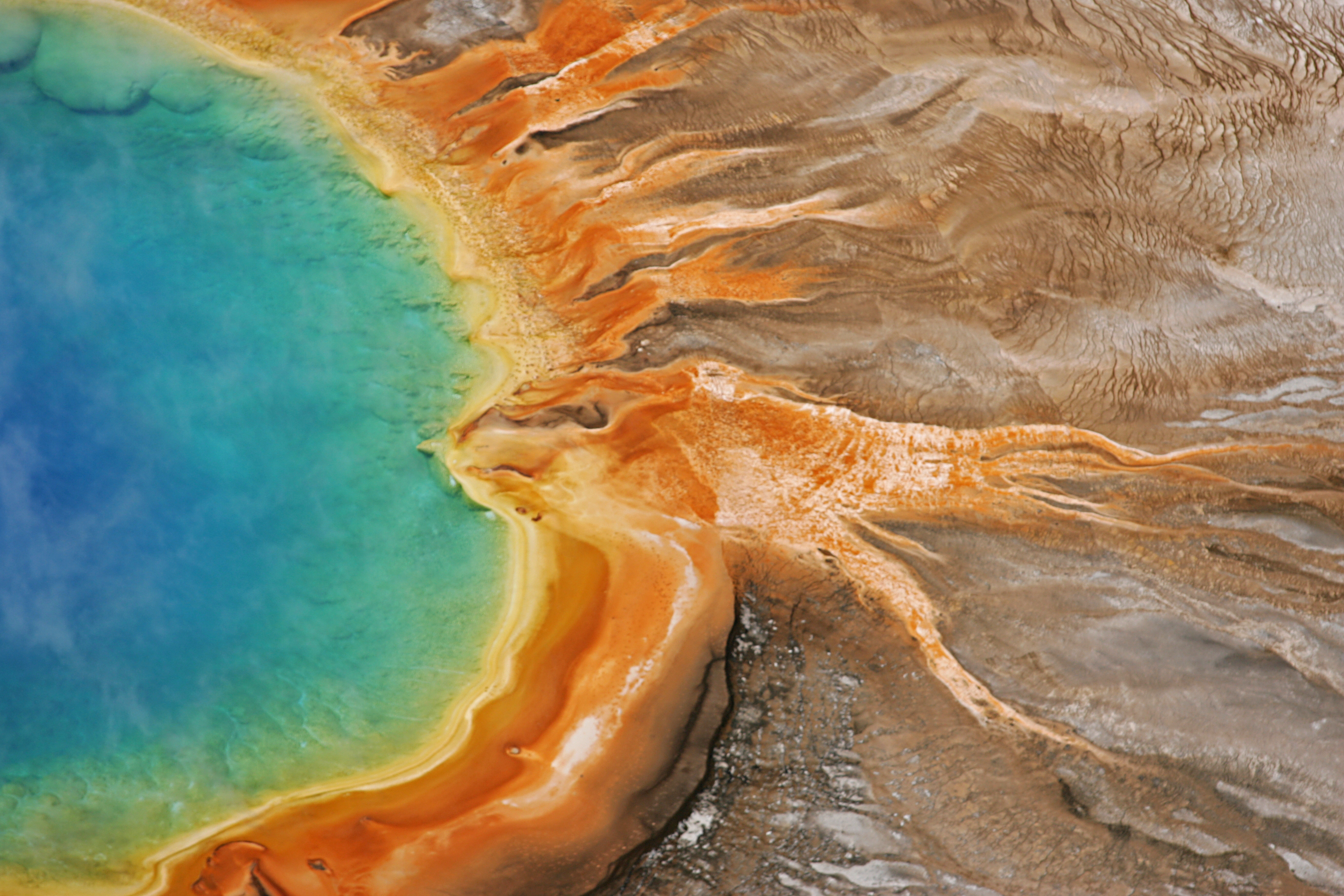
Preview background: Yellowstone National Park · NPS/Jim Peaco
Geography Bee
History and formats of real geography bee competitions, practice questions, and a 4-week prep path building toward a mock bee.
Yellowstone National Park — NPS/Jim Peaco
Source: NPS API
Want all three paths in one PDF?
Free 28-page download: the 50 states with National Park spotlights, world geography, and geography bee prep.
How These Paths Were Built
GeoProwl's learning paths aren't arranged at random. Each one follows the same design principle education researchers use for geography instruction: teach spatial reasoning region by region, pair every concept with a low-stakes checkpoint, and build toward a complete mental map rather than isolated facts. That structure draws on the C3 Framework (College, Career, and Civic Life), the standard most U.S. social studies and geography curricula are built around, specifically its Geography strand (D2.Geo), which calls for students to use maps and real-world data to explain relationships between places, not just memorize names.
That's also why every lesson pulls from live government data sources (Census, NPS, NOAA, USDA) instead of static trivia. Students aren't quizzed on canned facts; they're reasoning over the same population figures, park boundaries, and climate data a geographer would actually use. It's the same approach behind GeoProwl's full NGSS and Common Core standards crosswalk, built for teachers who want to slot these paths into an existing curriculum rather than treat them as a standalone add-on.