Master the 50 States
Five lessons, one per US region. Each lesson pairs real Census, climate, and agriculture data with the states in that region, then links straight into Just States so you can test what stuck on the map. Work through them in order, or jump to the region you need most.
Northeast
Where American history began: the most densely populated region, home to the Boston-Washington corridor, rocky coastlines, and the Appalachian Mountains.
11 states
Start LessonSoutheast
From the Appalachian foothills to Gulf Coast beaches, with a warm climate, rich agricultural traditions, and the fastest-growing population centers in the country.
12 states
Start LessonMidwest
America's breadbasket: the Great Plains, Great Lakes, and the agricultural heartland that feeds the nation. Home to major rivers and extreme seasonal weather.
12 states
Start LessonSouthwest
Desert landscapes, canyons, and mesas: a region shaped by Native American, Spanish, and Mexican heritage with booming modern cities and energy industries.
4 states
Start LessonWest
From the Pacific Coast to the Rocky Mountains, the most geographically diverse region, with volcanoes, rainforests, deserts, and the nation's tallest peaks.
11 states
Start Lesson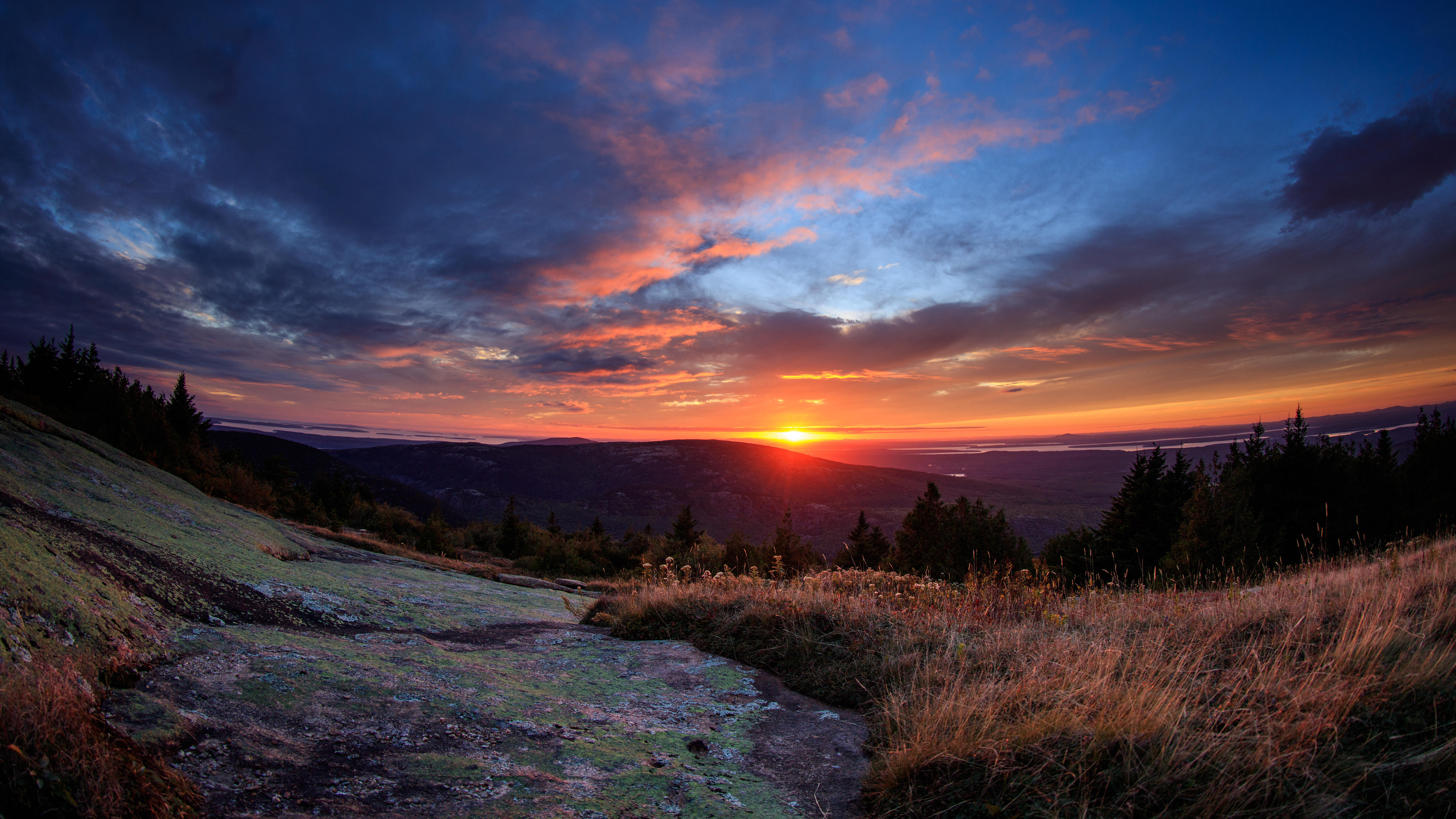
Acadia National Park, Maine — NPS / Kristi Rugg
Source: NPS API