Physical Features & Landmarks
Borders on a map are things people drew. Mountains, rivers, and deserts are things the planet built. This last lesson covers the physical features that show up again and again — on maps, in the news, and on every geography bee's question list.
What Counts as a "Physical Feature"?
A physical feature is anything natural you can point to on a map — a mountain, a river, a desert, a forest, a canyon. That's different from a political feature like a country border or a capital city, which people agreed on and can change. The Grand Canyon has looked roughly the same for millions of years. The border next to it has changed more than once. Physical features are the part of geography that would still be there even if every country on Earth disappeared.
Mountains, Rivers, and Deserts
Mountain ranges are long chains of connected peaks, formed over millions of years as giant plates of Earth's crust slowly crash into each other. Rivers are where water constantly flows downhill toward an ocean, lake, or another river — and where a lot of the world's biggest cities got built, since a reliable water source makes farming and trade much easier. Deserts are defined by how little rain falls, not by heat — some deserts, like the Gobi, get bitterly cold. What all three have in common: they shape where humans actually settle. People cluster along rivers and coastlines, and spread out much more thinly across mountains and deserts.
Why This Connects Back to Everything Else
Physical features explain a lot of what you learned in Lessons 1-3. Continents got their shapes from ancient mountain-building and shifting landmasses. Regions often follow physical boundaries as much as political ones — the Sahara roughly splits North Africa from the rest of the continent. And a country's capital sometimes sits where it does because of a river or mountain pass that made the location easy to defend or easy to trade through. Physical geography isn't a separate topic from the rest of this path — it's the layer underneath all of it.
9 Landmarks to Know
See Them for Yourself

The Grand Canyon, United States
Chensiyuan · CC BY-SA 4.0
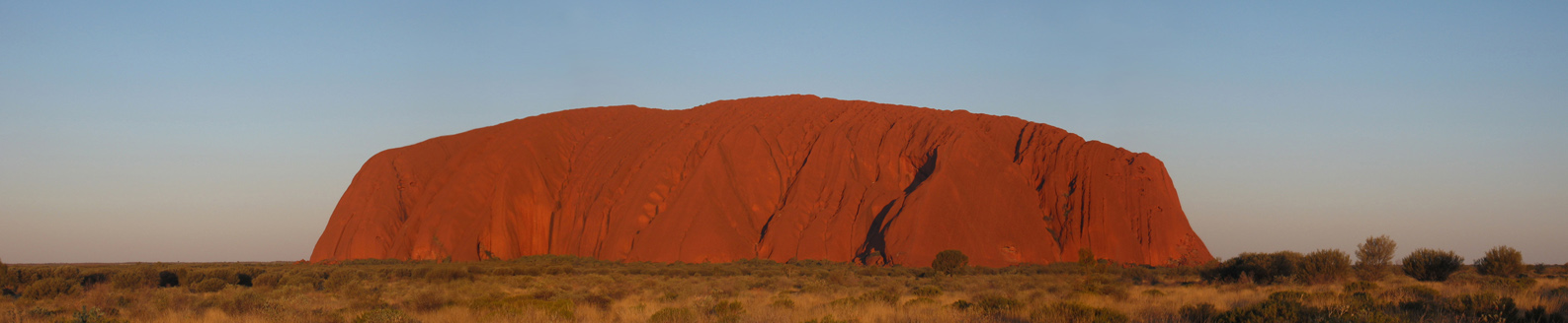
Uluru, Australia
BrisbanePom · CC BY-SA 3.0
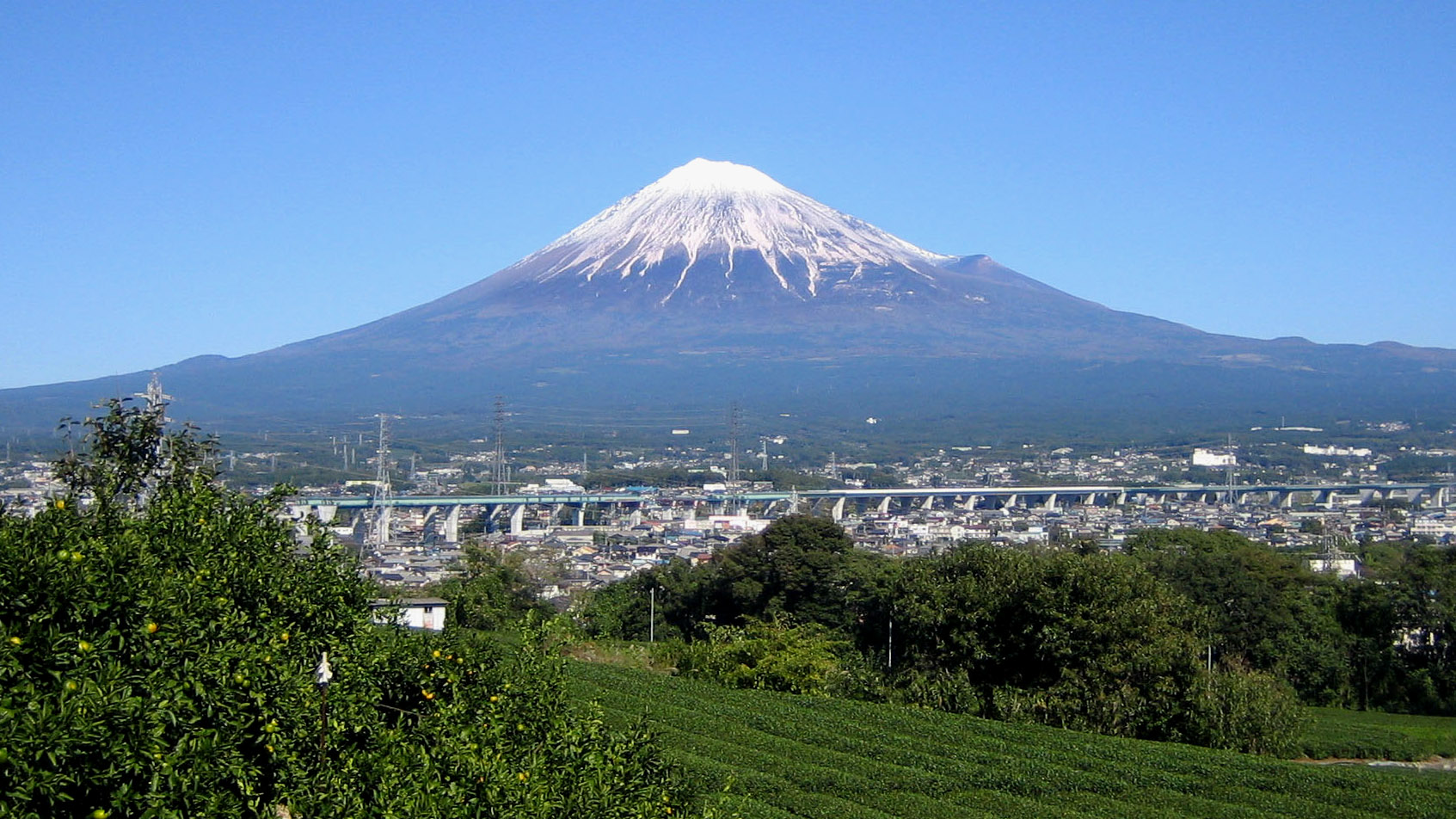
Mount Fuji, Japan
Mocchy · Public domain
Photos via Wikimedia Commons.
Vocabulary
Mountain range
A long chain of connected mountains.
River
A natural stream of water flowing toward an ocean, lake, or another river.
Desert
An area that gets very little rainfall — deserts can be hot or cold.
Rainforest
A dense forest that gets heavy rainfall year-round, home to more species than any other habitat.
Canyon
A deep valley with steep sides, usually carved out by a river over a very long time.
Checkpoint: Click the Country for Each Landmark
A famous landmark will appear. Click the country it's in — no time limit.
Recap
- • Physical features (mountains, rivers, deserts) are natural, unlike borders and capitals, which people decide.
- • Rivers and coastlines tend to have the most people; mountains and deserts tend to have the fewest.
- • Physical geography explains a lot of political geography — regions, borders, and even capital cities often follow the land.
You've completed World Geography Fundamentals!
Next up: Geography Bee prep, which builds on everything from this path — coming soon.